Projects
Within this section, you will find projects that I have worked on throughout my collegiate career, and within my professional career
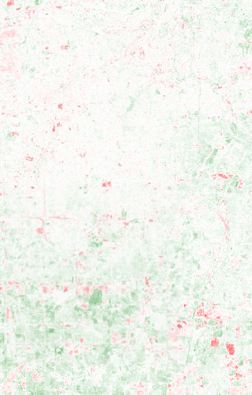
Flooding Risk and Social Vulnerability Mapping within Lauderdale and Colbert County
Land Change Detection Within Overland Park, Kansas
Watershed Delineation of the Cahaba River
Coastal Degradation within Newport Beach, California
Programming Major Earthquakes with ArcPy since 2020
Flooding Risk and Social Vulnerability Mapping within Lauderdale and Colbert County
Summary: Mapped FEMA flood hazard zones with CDC Social Vulnerability Index to Identify Communities most at risk.

Land Cover Change Detection within Overland Park, Kansas
This project analyzed urban expansion and vegetation loss between 2000 and 2020 in Overland Park, KS.
Tools & Data
- Google Earth Engine
- Landsat 7 & Landsat 8 satellite imagery
- JavaScript
Results
Over 20 years, vegetation declined while urban structures expanded, reflecting urban expansion. The red parts of the map are the areas within the greatest change in urban structures.
Watershed Delineation of the Cahaba Rivershed
This hydrological map was for my internship at Cahaba Riverkeepers
Tools & Data
- ArcGIS Hydrology toolbox
- USGS 30m DEM
- Flow Direction & Flow Acclimation
- US Department of Agriculture Geospatial Data Gateway
- Cahaba Riverkeeper Sampling Sites
Results
A clear map of the Cahaba Rivershed, along with the sub-watersheds with points that Cahaba Riverkeeper samples from.

Coastal Degradation within Newport Beach, California
This project comes from my Remote Sensing Class, at UNA, analyzing degradation along the beach of Newport, California
Tools & Data
- ERDAS Imagine
- Unsupervised Classification
- Signature Editor
- Supervised Classification
- Change Detection
- NAIP Imagery
Results
There was not much change within Newport Beach. This is mostly because Newport Beach imports sand, and puts it across their beaches, to prevent losing the beach itself.


Programming Major Earthquakes with ArcPy since 2020
This project also comes from my collegiate career, GIS Programming, analyzing major earthquakes within the continental US
Tools & Data
- ArcPy
- USGS Earthquakes
- XY Point to Map
- Hot Spot Analysis
- Buffer Zone
Results
A map that indicates the hot spot of major earthquakes since 2020, along with a buffer zone for the maximum distance it may have been felt.
XY Point to Map


Hot Spot Analysis w/ Histogram


Buffer Zones


Create Your Own Website With Webador